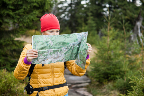
Trail maps used to be created by just one company. Maybe even one guy. But in the age of 2.0, that’s all changed.
The Net is loaded with free hiking maps that are pieced together by communities of like-minded trekkers. This makes it even easier to scope out sweet trekking spots that are off-the-beaten path. But beware: there are plenty of spam sites out there.
If you’re looking for some new trails to tread, check out this quick guide to free hiking maps. I’ve broken it up into two sections: Online trail maps & topographical maps. A good topo (along with a compass and/or GPS) is essential for blazin’ your own path through the wilderness. If you’re not sure on how to use them, National Geographic has put out a handy how-to guide that might help.
Hope these resources help get you where you wanna go.
Online trail maps
EveryTrail
EveryTrail is perhaps the biggest name in online trail maps. This site has seen a lot of growth over the past couple of years and it’s not surprising why — it has an army of contributors. All the guides are written by registered users and then given the green light by the editors. Why contribute? People earn points for their trek-worthy submissions, which can be used to buy goods at an outdoor retailer that the site has partnered with.
Their trail list is massive and it can all be viewed for free. However, if you’d like to download the guide to your iPhone or Android device, that’ll cost ya.
Overall, EveryTrail is one of the best places to hunt for new treks. You can easily get lost in the labyrinth of maps scattered across this website.
TrailPeak
This Canadian site shares details for more than 10,000 trails across Canada and the U.S. It’s very user-friendly with an interactive map that’s simple to navigate. Like EveryTrail, all submissions are reviewed by outdoor-gurus to ensure quality.
Although it doesn’t have the same inventory as EveryTrail, I find this site easier to use. And being able to select the trail difficulty before a search is great (and yes, they have ‘extreme’).
Some posts offer video (especially for mountain biking trails) and even elevation guides. Registered users can download the GPS co-ordinates of those tough-to-find trails. But the only way to get your hands on that juicy data is by becoming a member and contributing to the site. Hey, fair is fair.
But even if you’re just using TrailPeak to get ideas for off-the-beaten-path treks, it’s a very valuable tool.
National Geographic
These expert explorers have compiled a list of their favorite hikes in North America. Just click where you’d like to hike on the Google map and you’ll be taken to a short description of the trek along with a more specific trail map. OK, the maps themselves aren’t spectacular. But this nifty feature is a great way to quickly scan the terrain of a bunch of epic treks in no time.
Topographical maps
Onlinetopomaps
Their map is quick and responsive with a useful save function. You can also load the map onto Google Maps or MapQuest very easily.
Maptech’s Mapserver
You can easily switch between topo, nautical charts and aeronautical charts. A nice feature. Plus, they make it simple to save, e-mail and print out your maps. It’s a bit slow compared to Onlinetopomaps, but still a tool worth checking out.
TopoMapper
A powerful tool that uses national or local maps sources for coverage of Canada and the U.S. Maps for the rest of the world are based on old Soviet military topos, which apparently aren’t always accurate.
Do you know of any other free hiking maps that folks can find online? Tell us about them in the comments below.

