DISTANCE (one-way)
11 mi (18km)
DIFFICULTY
TIME
1-2 days
ALTERNATIVE TO
Southern sections of the Appalachian Trail
SOLITUDE
Trek to the top of the Appalachians
Escape the crowds but reap all the views, steep ascents, and rough terrain of the Appalachian mountains in this rugged summit-bagging trek. Often known as the Most Difficult Trail of the East, you’ll climb up and down and back up a few more times as you ride the crest of the largest collection of 6,000’ peaks in the Eastern U.S.
The first few miles of the hike bring the most elevation gain, climbing 3,000’ up to the ridgeline in just four miles. Despite the steepness, here the trail is smooth and well-maintained. Once at the top of your first peak, however, the trail becomes a bit more rugged, with plenty of rocks, roots, and rough terrain.
As you continue along the ridge the views become ever more impressive, with sweeping vistas of the valley below. Perhaps the most dramatic is atop Mount Craig, your last great view before the final push. With just a quarter mile to go you’ll reach the parking lot of the 6,686’ Mount Mitchell. Climb up the observation deck to soak in the views and celebrate trekking to the top of the tallest mountain east of the Mississippi.
When to go
Like most of the Appalachians, most any time of year can bring significant rains. Summer months often see afternoon storms, and of course in the winter the trail and the peaks will be covered in snow. Your best bet is late spring and early fall.
Getting there
The trail begins from Bowlens Creek Road, about 45 minutes northeast of Asheville. Leave your car in the parking area then follow the dirt road on foot for a few minutes more to reach the trailhead.
Know before you go
- For a one-way trip, a shuttle is required. Look around for local services, or even better, hike this as an out-and-back adventure for double the views.
- This trail is rough, rugged, and steep. It's not recommended for the beginning hiker.
- Water sources are available along the trail. Pack a water filter and read up on current conditions before setting out.
For more information:
- Pisgah National Forest website
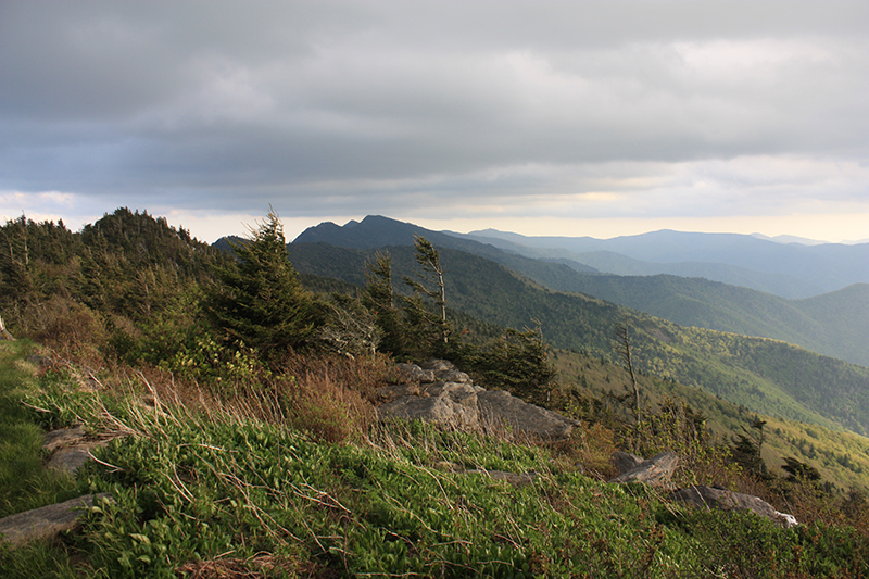
Wind-swept trees are evidence of the rough weather conditions along the ridgeline.
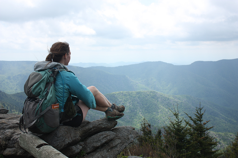
The views get better and better as the trail continues towards Mount Mitchell.
Gear Recommendations for this trail:
Your content here...