DISTANCE (one way)
195 mi (314 km)
DIFFICULTY
TIME
3 - 6 weeks
ALTERNATIVE TO
The John Muir Trail
SOLITUDE
Extreme elevation, extreme challenge, and extreme solitude
The Sierra High Route may well be the country's most spectacular and formidable route. Though it traverses the same country and largely parallels the John Muir Trail, the brave souls who accept the challenge of the SHR will get better views with absolutely none of the crowds.
The route takes the high road through the Sierra, following ridgelines and crossing over 30 mountain passes. The only part of the route that is marked is just a few miles that it shares with the JMT. The rest requires skillful navigation and route finding, almost all of it well above tree line.
Hikers will be faced with nearly complete solitude and must be fully prepared for extreme weather conditions, significant elevation gain, Class IV climbing, and challenging route finding.
When to go
Late summer and early fall have the least snow and warmest temperatures. Plan to finish your hike by October when thunderstorms and snowstorms threaten.
Getting there
The route begins from Road's End in King's Canyon National Park, about 90 miles east of Fresno, CA.
Know before you go
- This trail requires significant experience in backcountry navigation, route finding, and survival skills.
- Most of the trail hovers between 9,000' and 12,000'.
For more information:
- In-depth write-up on thru-hiking the Sierra High Route.
- Maps are available from OnTheTrail.org
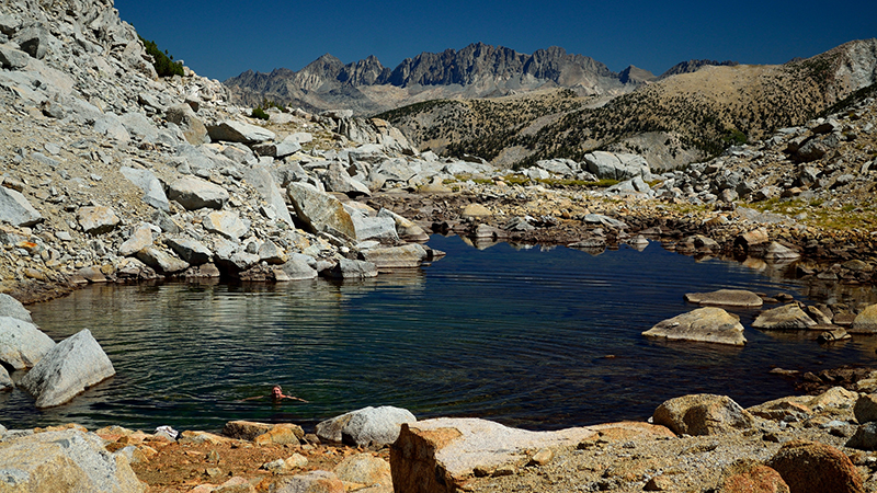
Goat Crest Saddle. Photo by Tom Hilton on Flickr.
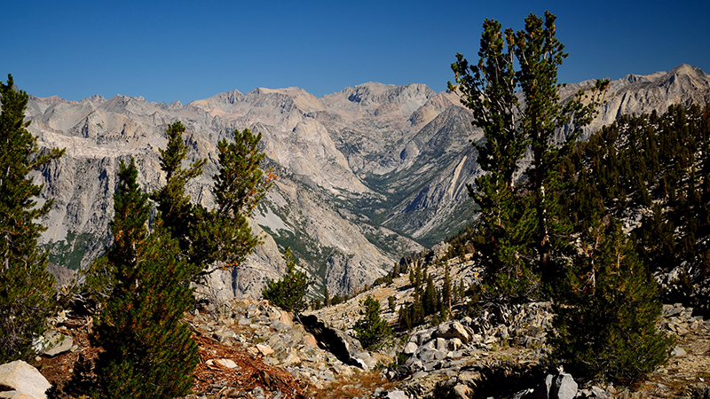
Middle Fork King's Canyon. Photo by Tom Hilton on Flickr.
Gear Recommendations for this trail: