DISTANCE (round-trip)
500 mi (805 km)
DIFFICULTY
TIME
3 - 6 weeks
ALTERNATIVE TO
The Continental Divide Trail
SOLITUDE
Explore the magic of the mountains
Fording raging rivers, summiting snow-capped peaks, steeping in hot springs, and carefully descending into steep canyons are just some of the fun you'll have on this unmarked route through the Land of Enchantment. The Northern New Mexico Loop showcases some of the region's most unique landscapes and provides a challenging backcountry experience.
It begins in Santa Fe and quickly climbs high up into the Jemez Mountains, passing through the ancient dwellings of Bandelier National Monument along the way. It continues in a clockwise direction through Carson National Forest and the Taos Valley, then back up into the Sangre de Cristos and the Santa Fe National Forest before landing back in New Mexico's capital city.
The route twice crosses the Rio Grande, a river which is often too large to simply ford. Hikers have been known to carry packrafts, swim across with a full pack, or hike a few days out of the way to safely cross. Whatever you choose, the trek will be an adventure to remember!
When to go
Spring is ideal for clockwise travel, as snow in the Sangre de Cristo mountains should be melted by mid-summer when you finish. If hiking in the opposite direction, fall is best to hit the higher elevations before the snow falls.
Getting there
The route begins and ends at the historic Santa Fe Plaza, but given that it's a loop any convenient starting point will do.
Know before you go
- The trail shares about 130 miles with the Continental Divide Trail but is otherwise unmarked. You'll need to know how to use a map and compass to find your way.
- There are about six points of resupply in small towns along the route.
For more information:
- Maps and information by the route's creator Brett Tucker.
- Great resource on As The Trail Turns created by the only other person to thru-hike this route.
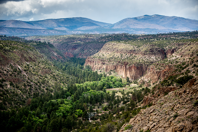
Frijoles Canyon in Bandelier National Monument. Photo by Kent Kanouse on Flickr.
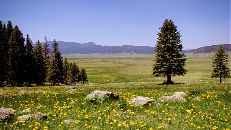
Valles Caldera along the northern leg of the route. Photo by Thomas Shahan on Flickr.
Gear Recommendations for this trail: